F u e r t e v e n t u r a - C a n a r y I s l a n d s
The Canary Islands are political belongs to Spain, geographical they are located near by North Africa. Fuerteventura is the oldest of the Canary Islands. The island was formed by volcanic eruptions. With a length of 98km and a breadth of 28 Km Fuerteventura is the second biggest island of the Canaries. The capitel city is Puerto del Rosario located at the east coast.
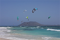
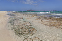
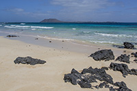
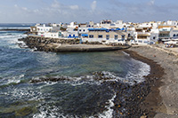
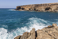
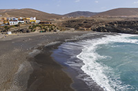
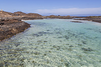
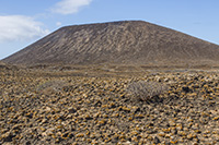
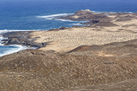
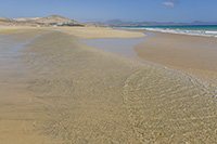
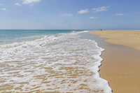
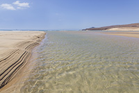
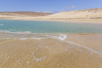
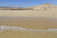
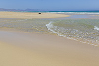
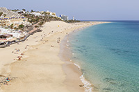
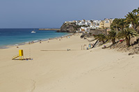
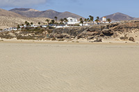
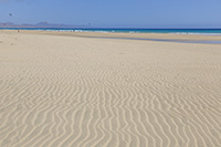
In different to the other canary islands, Fuerteventura is more a flat island. Pico de la Zarza is the highest mountain with a high of 807m, which is located in the southwest on the halfisland of Jandia. The Parque Natural de Corralejo in the northeast is a unique area builded of wandering dunes. Further at the eastcoast you will find some fantastic sand beaches with very clear seawater. The best are at Corralejo, Costa Calma and Morre Jable.
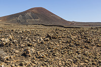
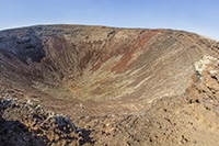
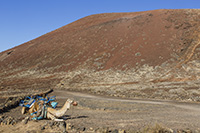
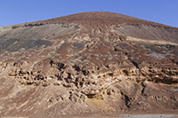
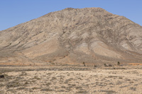
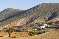
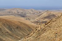
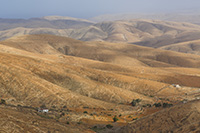
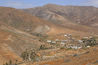
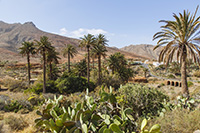
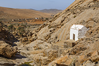
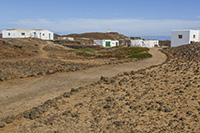
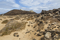
The landscape in the highlands is almost orange colored, because the earth on this island is a mixture from volcanic stones and shell sand.
All pictures are in high resolution, made with Canon EOS 5D Mark III up to 23 megapixel, format RAW, JPG or TIF. Available color space AdobeRGB, sRGB or CMYK
The resolution of the photos on this webside are reduced very strong.
Round about 200 photos from Lanzarote are in stock, if you looking for something special, please don't feel hesitate and send me an email with your interest ...
The resolution of the photos on this webside are reduced very strong.
Round about 200 photos from Lanzarote are in stock, if you looking for something special, please don't feel hesitate and send me an email with your interest ...
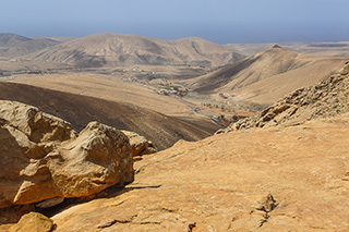
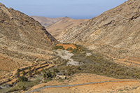
Foto-Nr: 29a_3574 - View from Mirador de Fenduca

